View The Tarn, Goathland in a larger map
Habitat
Acidic bog and standing open water.
Access
Park at the T junction at the western end of Goathland. Follow the footpath up onto the moor in a south-westerly direction.
www.yorkshiredragonflies.org.uk
View The Tarn, Goathland in a larger map
Acidic bog and standing open water.
Park at the T junction at the western end of Goathland. Follow the footpath up onto the moor in a south-westerly direction.
View Tranmire Bog in a larger map
Bog.
Roadside bog on Wheeldale Moor at SE803970
View Fen Bog in a larger map
Valley mire.
The reserve is situated to the west of the A169 Pickering-Whitby road, about ten miles north of Pickering and three miles south of Goathland.
OS Map from BING Maps
Fen Bog – YWT
Shallow scrapes and former canal.
Park in the Canal Scrape car park before the entrance to Spurn Point.
View Skipwith Common in a larger map
Dry and wet heathland, mire bogs.
From the west off the A19 along King Rudding Lane, the east from Common Lane in Skipwith.
View Saltmarshe Delph in a larger map
A Yorkshire Wildlife Trust Site – Open fresh water and reedbed.
South of Howden (SE774248).
OS Map from BING Maps
Saltmarshe Delph – YWT
View River Hertord in a larger map
Canalised river draining into the River Derwent.
Car park just north of the bridge over the A64 and also the bridge at Folkton Carr.
View Pulfin and High Eske NR in a larger map
A Yorkshire Wildlife Trust site consisting of High Eske borrow pit and Pulfin reed fen.
Accessed via Tickton by walking along the River Hull bank (TA050440).
OS Map from BING Maps
Pulfin Bog – YWT
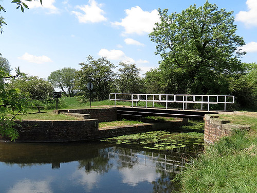
View Pocklington Canal in a larger map
Slow flowing fresh water of high quality with plenty of floating and emergent vegetation.
Access is possible from a number of locations along the canal.

View Oak Road Lake, Hull in a larger map
Borrow pit formed by extraction to strengthen the banks of the River Hull.
From Beverley Road, Hull via Beresford Avenue (TA092322).